
Riverside, California
A guided tour of Paper Trail Politics
An IMDb for politics.
Welcome to my idea for a connected guide to government. Instead of connecting movies, actors, and studios, Paper Trail Politics connects places, offices, elections, candidates, organizations, and the money behind campaigns.
Explore the ideaThe idea behind the project
Three questions.
One connected picture.
I started Paper Trail Politics because I wanted to answer three questions.
I also wanted to answer these questions in a visual way that would make it easier for people to explore and understand their government. This site captures and organizes various sources of data and information into a single page for users to examine. Every location in the U.S., every political office, election, candidate, entity, and organization can have its own page.
By linking these pages to each other, it becomes easier to 'surf' around and see how various aspects of our government interact with each other in ways not easily seen before.
Currently, I have two locations that I'm ready to share to help illustrate this layout: Riverside, California, and Toledo, Ohio.
Explore the Government Atlas
Who runs my local government?
One of the first things I wanted to know is who represents me in government. While many of us recognize the names and faces of people in the news, we may not know who serves on our local school board, who our state representatives are, or which judges preside over our local courts.
To make government easier to understand, Paper Trail Politics provides a “Government Atlas” that lets you visually explore political offices throughout the U.S.
All U.S. states and counties are currently available in the atlas. In the two locations featured here, Riverside and Toledo, coverage extends to the precinct level in certain areas.
Toledo, Ohio
Find your precinct. Explore your ballot.
What am I voting for?
How many times have you walked into a polling place and been presented with a race you hadn't even heard of before? Or perhaps you thought you were going to vote for one candidate, only to find out you live just over the line in another area?
If you know which precinct you live in, you can see which races you get to vote on. Historically, each precinct had its own polling place, but with cutbacks and early voting, many precincts are now grouped together, making it even more confusing to find out what you're voting on.
Paper Trail Politics has a precinct finder on the “Find My Area” page that tells you which precinct you live in. You can drill down on the map or enter your ZIP code and navigate to your home. Once you have an account and select your area, you can keep up with what will be on your next ballot.
On the demo website, I've provided two precincts as examples of how this may work: Precinct 228-806 in Riverside County and Precinct 014D/1 in Toledo.
Woodcrest · Precinct 228-806
Toledo · Precinct 014D/1
Compare the issues. Follow the money.
Who is funding a candidate’s campaign?
The final questions I wanted to know is who is donating to each candidate? I've found that by comparing who is giving money to whom, you can quickly see the real extent and reach of power in government. I've provided a few examples below of money in politics and how it compares at the local scale, and the federal level.
Riverside City Council Ward 2
Follow the money in a local council race and compare the candidates’ reported campaign support.

 Explore this race
Riverside City Council Ward 4
Explore another Riverside council race through its candidates, campaign funding, and local issues.

 Explore this race
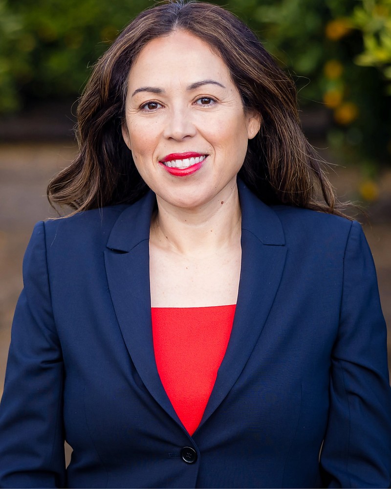
Riverside County Judge Seat 10
See the reported campaign contributions and filing sources behind a countywide judicial race.

 Explore this race
Ohio U.S. House District 9
Compare funding in a federal race, including candidate campaigns and independent spending.


 Explore this race
The same idea, applied to ballot measures
What is the proposal?
Who is behind it?
Finally, I often want to have an unbiased (as possible) understanding of ballot measures such as state-level propositions, local measures, tax levies, or other up or down votes.
To help show how Paper Trail Politics can help sort through these issues, I've provided two examples of tricky propositions in CA this year: Prop 38 and Prop 44. Explore these pages to better understand the pros and cons of each vote based on official records.
38Proposition
 Leonard Ortiz / Orange County Register via Getty Images
 Illustrative clinic image
Leonard Ortiz / Orange County Register via Getty Images
Authorizes Bonds for Immunology Medical Research. Initiative Statute.
Explore Proposition 38 44PropositionIllustrative clinic image